
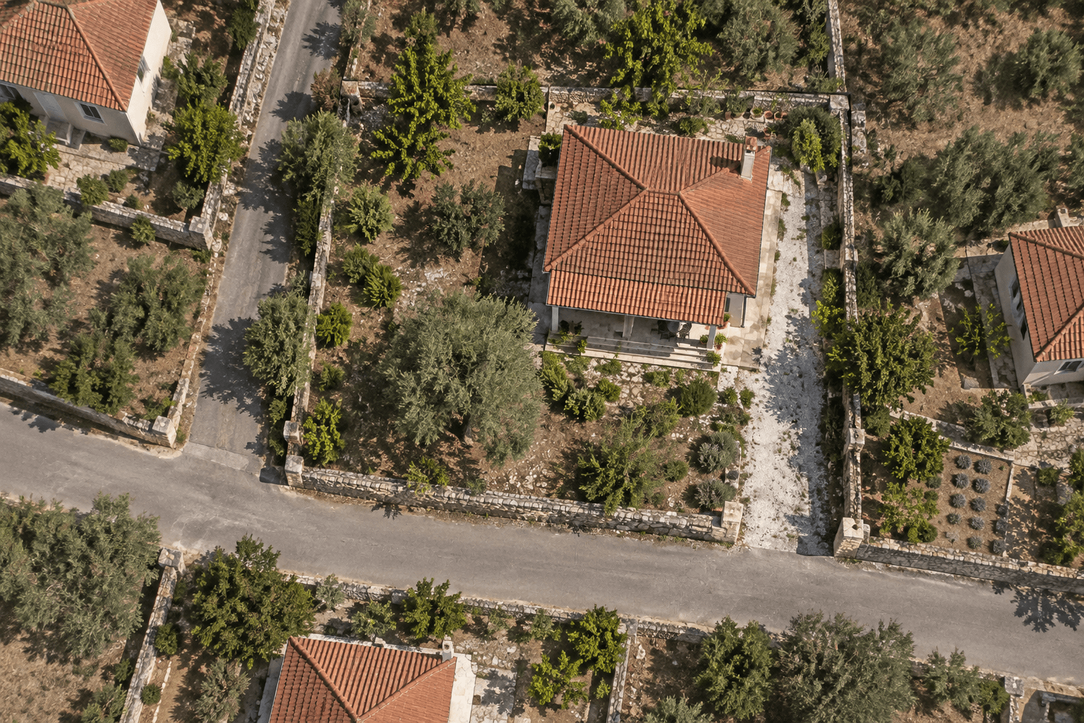
Example finding
According to public YPEN data, the parcel falls within a high-probability flood hazard zone.
ONLINE PROPERTY PRE-CHECK SERVICE
Found a property that interests you? Start with a public-data report to understand what needs a closer look before investing time and money.
Public data sources
According to public YPEN data, the parcel falls within a high-probability flood hazard zone.
THREE OUTCOMES
Skip searching each source separately. Get the available findings organised into one report, with source evidence, limitations, and practical next steps.
See what public maps show for the parcel you confirm, with the source behind each finding.
Understand which data was unavailable and which questions still need a professional to investigate.
Download the PDF or share a protected link. Take the findings and focused questions to your lawyer or civil engineer.
Coverage varies by source and location. No finding does not prove the absence of risk.
The public cadastral parcel you confirm. This does not verify title or ownership.
Whether that parcel overlaps a mapped flood zone from the Greek Ministry of Environment.
Whether that parcel overlaps or only touches a Natura 2000 protected area.
What available forest-map data shows on that parcel. A civil engineer must verify its implications.
WHAT CORE AND EXTENDED CHECK
Cadastre parcel context
Source: Hellenic Cadastre public parcel polygons
Is it in a mapped flood zone?
Source: YPEN flood hazard and risk layers
Is a Natura 2000 protected area nearby?
Source: Natura 2000 SCI / SPA designations
Is it on a designated forest map?
Source: regional forest maps
Are there historic flood, coastal, or protected-area signals nearby?
Sources: historic flood records, bathing-water zones, national protected areas, rivers/lakes, municipality context
What broad land-cover class is mapped on the parcel?
Source: Copernicus/CORINE Land Cover 2018
What are the long-term rainfall and temperature averages?
Source: CHELSA climatologies, 1981–2010 (about 1 km grid)
What local context and active-fault proximity are mapped nearby?
Sources: OpenStreetMap and NOAFAULTs active faults
WHAT WE DELIBERATELY DON'T VERIFY
Market value / rent / yield
Not an automated price estimate or appraisal report
Title, ownership, encumbrances
Requires lawyer and notary review
Building permits / legalization
Civil engineer review of e-Adeies and files
Buildability and zoning
Engineer and planning authority confirmation
Wildfire history
Not checked in this report. Ask an insurer or the seller about known fire history.
STR / Airbnb registration
AADE, municipality and building-rule compliance
START FROM THE MAP
Click the property on the map, or type its cadastral code. You will see the parcel boundary, KAEK and area for free, before you pay for anything.
Click the property on the map to find its parcel.
Inside your report
Example: a mapped flood zone overlaps part of the plot.
An overlap is a reason to investigate. It does not show whether the house has flooded or predict damage.
Ask your engineer about the building’s position, drainage and any local flood history before proceeding.
PRICING
Extended is the report we recommend: the four public map layers, plus the location context around the parcel you confirm. Core is the shorter check when you only want cadastre, flood, Natura 2000, and forest maps.
The public-map pre-check for the parcel you confirmed.
€19
incl. VAT
Recommended
Core, plus environmental and local context.
€39
incl. VAT
HOW IT WORKS
From address to answers in a few minutes. You only pay once you have seen the right parcel.
Search an address, enter a KAEK, or click the map. Seeing the boundary, KAEK, and mapped area is free.
Choose Core or Extended. The fee is for the other datasets, findings, and questions, not for looking up the parcel.
Explore the findings, download the PDF, and discuss them with your professionals.
BEFORE YOU START
Looking up the cadastral parcel is free: you can see the boundary, KAEK, and mapped area before you pay. The fee is for the analysis of that parcel — the other public sources, organised into one report with findings, limitations, and questions for professionals. You can read the sample before choosing Core or Extended.
No. The report uses automated public geospatial data checks, without a site visit. It does not verify title, permits, legality, buildability, or short-term rental eligibility.
The property’s location, then the cadastral parcel the public cadastre returns. Search an address, enter a KAEK, or click the map. There is no need to upload deeds or permits. The check uses that parcel.
The report identifies unavailable sources and coverage limitations. Missing data or findings do not establish safety. Those checks still need professional verification.
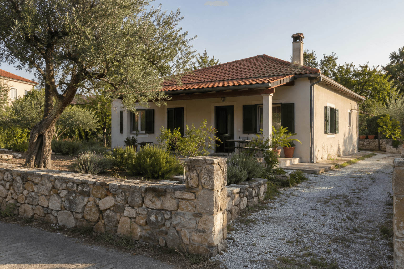
Find it on the map and confirm the cadastral parcel. That lookup is free. You pay for the analysis.
Greek Property Check is a public-data pre-check tool. It is not a valuation, legal due diligence, certificate of legality, or substitute for a Greek lawyer, civil engineer, or notary.